Given its size, shape and contour, Shinnecock Bay is in many places a very dangerous water, in particular during the bottom half of the tide. There the west to east flow in the boating channel under the bridge can reach fifteen knots, and the rips run all the way to the Inlet where… but that is a later story.
So if you are a novice on the water, keep to the northern shores. Stay away from the bridge altogether, don’t venture near the fishing port or marina, and don’t even think about approaching the Inlet. Better still, stay on the beach and read a magazine. OK, safety brief over. Let’s start at the launch slip under the bridge.


Launching at mid-tide is easy, and having taken a few shots under the arch of the bridge (which really is a very imposing structure) I was out past the boat channel in no time at all, and heading towards the un-named island some 800 meters to the west.


Low laying, with narrow beaches which in places were home to hundreds of seagulls, I pulled up on the western edge and sat on the sand to eat lunch. Despite the noise of the birds it was an incredibly peaceful spot, and on a warmer day after a longer paddle the ideal place to take a brief nap! But not this day. It was time to paddle around the southern edge of the island and head back towards the bridge. (It was during these moments when about a dozen or more large striped bass swam under my boat!)


My luck was in, as I had the main channel to myself for a few moments. Plus the tidal flow had started to pick up, so it was a simple matter of picking my line and keeping the boat straight. A word to the wise: If you do turn against the current at this point it will either try to push you against one of the huge concrete pillars where you will capsize, or else it will simple capsize your boat anyway. So keep straight, and don’t be tempted to take artsy photos of the underside of the bridge. Like this one…

Next stop: Warner’s Island some 800 meters east. (No, I don’t know where the name comes from.) It’s another place where countless seabirds, in particular dark cormorants gather and cry.


The Inlet was 1.6 kilometers to the south and so it was time for a good steady paddle. Winds were light, but the tidal flow from the west (on my right shoulder) increased steadily as I got nearer to the Inlet and the market buoy.

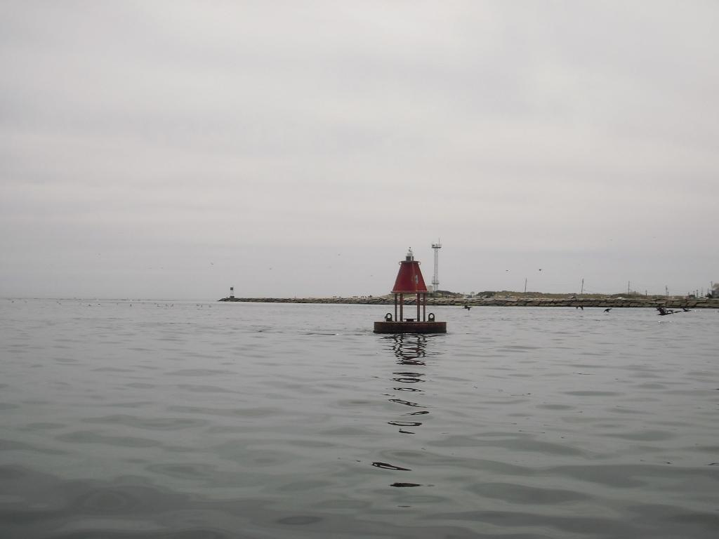
Then, having paddled in, the rip was behind me. Hello, Atlantic Ocean!

By the time I had taken that shot and quickly stowed the camera the kayak had literally passed the point of no return. There was no need to paddle as the flow behind me was pushing over ten knots. The secret of Shinnecock Inlet is to literally “go with the flow.” Paddle out through the waves and only then turn around (and not before. The chances of capsize are near 100%) surf back in using the paddle as a stabilizer. Then, having reached the last of the swell it’s time to paddle like “________!” (Insert a word of your choosing here) against the flow until you’ve reached the bay once more – a distance of 200 meters. Then relax! It’s time for the long paddle back!

1 comment:
Gives a whole new meaning to the phrase "Paddle your own canoe". (Yes - I know it's a kayak, but don't be so pedantic!)
Post a Comment